Map Kemihaara, Tuntsa, Värriö Mountains, Calazo


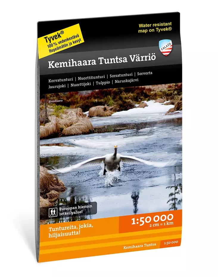
- Product Code: 520
- EAN: 9789188779007
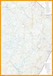
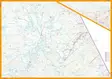
Map of Kemihaara, Tuntsa, Värriö Fell, Calazo. In the land of Santa Claus. The remote areas south of the North Kairan are dominated by typical ridges, aapa bogs, and numerous small streams that eventually converge into the great Kemijoki River. A.E. Järvinen described in many adventure novels the region's accessible sandy forests and fells, which are now traversed by the UKK hiking trail.
Nature's cycles are illustrated by our largest area of forest fire damage and the significant traces of storm damage in the Jaurujoki valley.
Our map is printed on excellent Tyvek® material, which is waterproof and tear-resistant. Therefore, you do not need to protect your map from rain, nor will it tear during use. The manufacturer guarantees that the material can withstand 20,000 folds. With its clever sheet division, all the essential hiking destinations in the area fit onto one map.
Scale: 1:50,000
Material: Tyvek
Manufacturer: Calazo